sashura: (Default)
Glacier Bay National Park - rain, rain, and a bit more rain.


The next day Hamilton Glacier was under a bright sun!


sashura: (Default)
White Pass & Yukon Route Railroad https://wpyr.com/excursions/


A narrow gauge railroad built between 1898 and 1900, the cars are a mix of the restored originals and modern replicas, the locomotives are new, our was finished in 2020.

Organizational notes:
- you can buy tickets through your cruise.
- you can buy tickets directly from the company, either beforehand online or on the day of at the train station. From the company is cheaper and you most likely will have fewer people in your car as they separate those that are coming off a cruise and their direct clients.
- the White Passs roundtrip takes about three hours, there is no getting off the train. There is bottled water available in each car and a restroom. No passport is needed for this trip as you are not getting off the train in Canada.
- they also offer combination tours: ride the train to a trailhead, hike for 3-4 hours, catch the returning train back. If you want to hike higher than the sea level, it might be a good way to get to a reasonable altitude.
- for better views on the way up you want to be on the left side of the train.
- don't book this trip planning to return really close to your ship leaving! Out train got stuck for an hour when something failed and they had to run a draisine (a motor powered one) with supplies from the city up to the train.

One can't walk from car to car, but every car has open platforms on both ends, so it is possible to watch the scenery without the glass.

On the Skagway station:


Off we go!


The views!


This bridge wasn't used for a few years and then collapsed in 2018. There are no plans to restore it.


We were crossing this valley on a different bridge :)


One of the tunnels:


Choo choo!
sashura: (Default)


Skagway: a tiny town in the middle of nowhere that lives solely on the backs of the cruise ships that stop here.
At the peak of Gold Rush it was the biggest city in Alaska with population of about 8,000 - the main port where prospectors were coming by steam boats and then making their way to Yukon. When everything crashed the city nearly died as many other in that area, but was saved by a few people that wanted to preserve the local history. The main street still has the original buildings for the most part and some of them even house the same businesses that were there before.

Main street: it was quite early, so stores were still closed and no people. By the time we got back from the hike the street was packed. In the background is out ship:


In Skagway we didn't need a car at all - Dewey Lake trail starts a 15-20 min walk from the ship. Directions there are a bit confusing, "follow 2nd Ave to the end and turn North after crossing a creek" means "follow 2nd Ave to the East end and turn left right before the rail tracks". Yes, there is a creek too, but it is small, and tracks are much more visible. Plus depending where exactly your ship docks your "end of 2nd Ave" might be in different places. Not that anything there is too far, but still :))
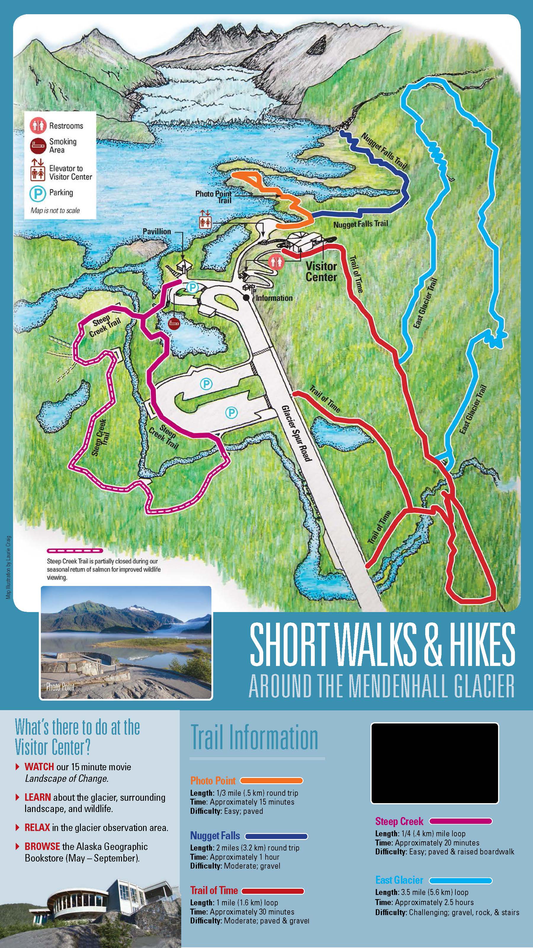
Here is a map, in case anybody wants to find the place without asking locals for directions. None of our phones worked there, neither as phones, nor as gps devices, so, it was back to basics - writing directions on a piece of paper :)


There is a railroad that is also from the time of the Gold Rush era though by the time it was completed it was too late - there was no need for it. Then it was used to transport ore to the port, during the WWII it was used by the US Army, then in 1982 the world metal prices plummeted, mines closed, and all trains stopped. In 1988 the railroad restarted as a tourist attraction and still works today.

There is a manual switch close to the start of the trail. Local engineers had to modify all Alaskan switches as mooses like to scratch their sides on these and were moving the handles. So a pedal was added - now in Alaska, unlike everywhere else in the world, one has to simultaneously push a pedal and pull the handle to work the switch.


The trail starts with a pretty steep climb for about half a mile and then levels at the top to hike around a lake (another 3 miles).

The climb up:


The flat part:


There are signs and the path is parked, so it is pretty hard to get lost there:


The forest here is very different from the first two stops - no moss, almost all trees are evergreens, so it is much brighter.
But some birches are still managed to live here:


On some other trail showed the kids birch brackets (Piptoporus betulinus, древесный гриб), but here managed to find one that fell off:


The forest around the trail is being cleaned out, dry fallen trees are cut into logs and put into piles along the way. I am not sure if these are supposed to be used as firewood at the BBQ sites (there are 2 or 3 there) or have some other intended use.


For some reason a lot of evergreens in Alaska are leaking sap. Sure, I have seen it before a bit here and there, but on this trip it was happening on every hike - there would be a tree or three with some bark missing and the beads of sap on the trunk.


The lake itself is absolutely gorgeous!


At one end of the lake there is a run-off that powers the local electro station:


And every open space by the is covered with flowers.


sashura: (Default)
A7_04396.jpg

Right across the cruise ships pier there is a cable car going up to the top of a mountain, so after lunch we went to try it out.

There was a line, but it was moving pretty fast — the guy selling tickets said it will be a 20 min wait and he was right.

The tram brings you to 1800 ft above sea level and the view from there is great!

A7_04404.jpg


At the top there is a visitor center with a restaurant, bar, some sort of museum, and a trail.

PXL_20230713_010926273.jpg

The loop that they show is pretty wide and easy with great views.

A7_04413.jpg

A7_04411.jpg

A7_04490.jpg

A7_04489.jpg

A7_04466.jpg

A7_04445.jpg

A7_04441.jpg

A7_04439.jpg

A7_04430.jpg

A7_04429.jpg

A7_04434.jpg

A7_04436.jpg

But when you got to the furthest point of the loop, the cross, there was a trail that continued towards the snow. And since it looked close enough, we went on. And on. And a bit more on.

A7_04460.jpg

A7_04461.jpg

A7_04463.jpg

The path stopped being nice and easy, but the incentive to get to the snow was too big to turn around. And we made it there! I went to build a snowman

A7_04473.jpg

And to find twigs for the arms:

A7_04472.jpg

Here he is:

A7_04478.jpg

A7_04487.jpg

A7_04484.jpg

A7_04483.jpg

A7_04449.jpg

The way back down was faster, but scarry at times. We made it was no falls, so it's all good.

It was interesting to see how fast the climate zones were changing: at 1800 ft there were tall trees, bent by the winter snow, then they got smaller and smaller, then trees disappeared, and it was all the alpine flowers. And then by the snow line there was just grass left. Usually, it takes a car ride to see these changes, but here everything was compressed into an hour-long climb.
sashura: (Default)
PXL_20230712_220435761.jpg

no title

The plan was to hike by the Mendenhall Glacier. Trails start from the visitor center, which is 15 min ride from the port. Google said that cab is $35 plus the park entrance is $5 per person. And tourist buses wanted $45 per person to get you there. So, I figured we will just grab a cab at the pier. Good plan, only one problem - there are no cab stands in Juneau! There are cabs, but all cars you see are already going somewhere and the only way to get a cab is to call one. Oops! Our phones don't work in Alaska outside of WiFi, so we couldn't call anybody. There was a cab waiting for his passengers and I tried to ask him to call his dispatcher and get another car to the ship, but he couldn't understand what I wanted from him. Either my Englis, or the whole concept of a person with a non-working phone in her hand did not make much sense to him.

Next, we tried the tour kiosks that are selling tickets to the busses. It was around 9 am, the guy at a kiosk told us that the next bus is at 2 pm and we should get tickets right away because they will sell out. Em... No, thank you. The idea of charging us $5 for calling the cab did not occur to him as he was sure that no sane person will walk away from him. Wel, we did just that.

So, we just went along the street looking at one diamond store after another. Found a hotel. Great! There should be a front desk and they will call us a cab. Nope, no such luck - hotel was locked, the only way to get in is to have a pass key.

Next to the hotel was a boutique store, I tried my luck there and it worked! The girl offered to call a cab for us and succeeded on the third try - the first company hung up on her, the second one didn't want to go where we needed to go, the third one sent a car.

The thing with cabs in Juneau is that are prohibited to enter this park. Busses can, but cabs have to drop off their passengers about 20 min walking distance away from the park's parking lot. Ok, got out there, paid, made an arrangement for him to pick us up in 2.5 hours. The walk there is quite nice - a paved wide sidewalk that is going along an almost empty highway.

PXL_20230712_211402426.jpg

At the park I made an attempt to find a place to pay the entry fee,but failed. And figured that if they don't make this part easy, it's their problem.

The glacier. There are no trails that go right to it, the best view is from the Visitor Center and a small paved road next to it.
no title


(the map is clickable, will take you to the park's site)
We did the Trail of Time with all of it's sidetracks as that one took us closer to the meeting point.

Along the path to the visitor center they have plans and small explanations with what is what. These were very useful as everything is in bloom right now, so it was easy to figure out which plant they are talking about.

PXL_20230712_193951233.jpg

PXL_20230712_193145501.jpg

no title

no title

PXL_20230712_193837770.jpg


PXL_20230712_193852860.jpg

The next two I am not sure about, will looks them up when we get home.

PXL_20230712_192404054.jpg

PXL_20230712_193957277.jpg

And just random pictures from the trail:

1 no title

2 no title

3 no title

4 no title

5 no title

7 no title

8 no title

9 no title

10 no title

11 no title

12 no title

13 no title

We have seen a lot of trees with fluff similar to the cottonwood, but not quite.
no title

Finally got to see where it was coming from:

no title

16 no title


18 no title

19 no title

20 One of the very few eadable mushrooms we have seen in three days of walking around.
no title

22 no title

23 no title

24 no title

Братец Иванушка:

no title

27 no title

28 no title

December 2025

S M T W T F S
 123456
78910111213
14151617181920
21222324 252627
28 293031   

Syndicate

RSS Atom

Most Popular Tags

Style Credit

Expand Cut Tags

No cut tags
Page generated Jan. 15th, 2026 08:49 pm
Powered by Dreamwidth Studios